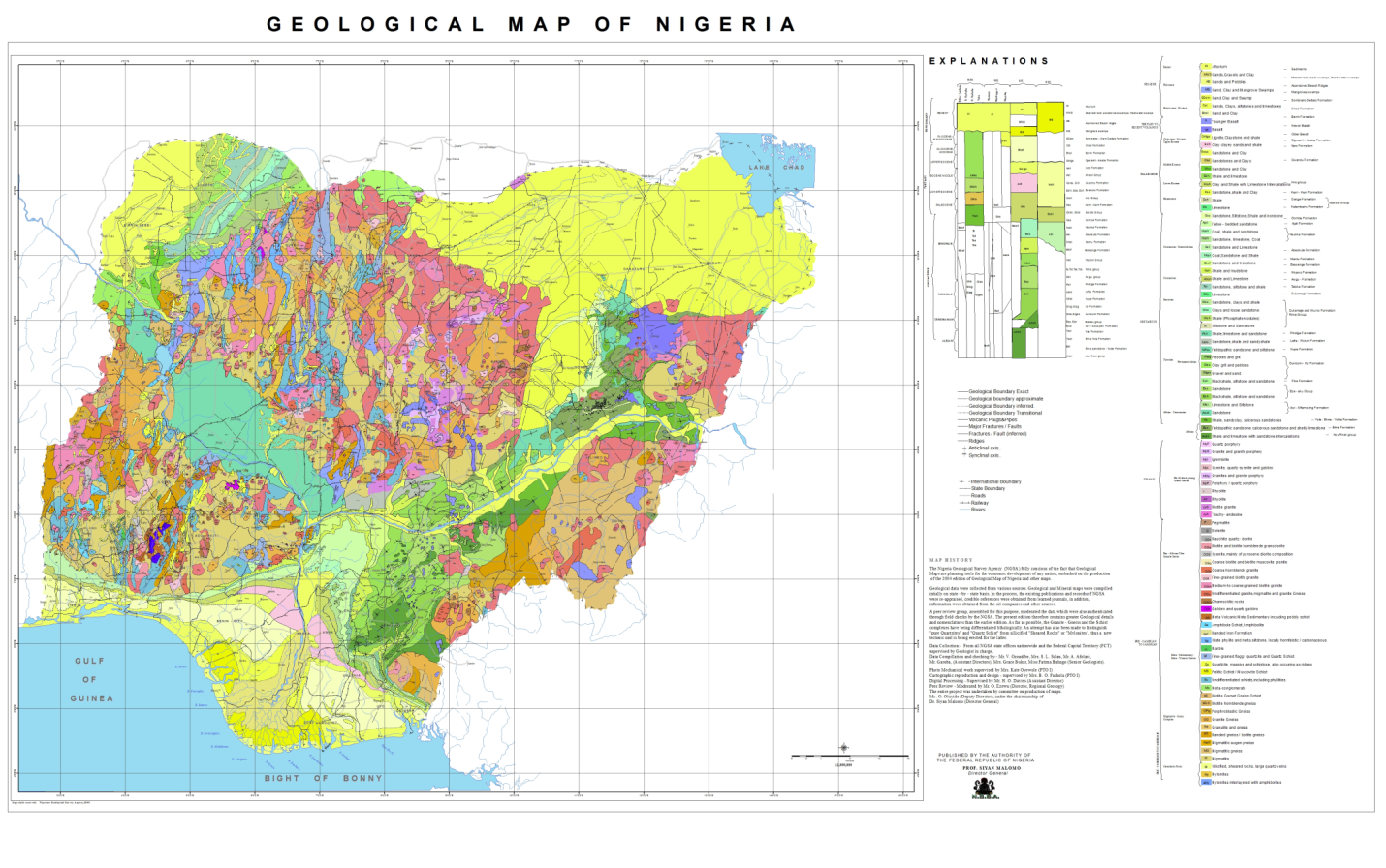
NBRRI SUBGRADE MAP
The subgrade soils map and attendant information will be useful to the engineer and contractor in the preliminary planning stage of Civil Engineering works and related projects in the area. The study gives broad delineations that give overall guide as to the predominating soil classification in the areas investigated. The information will serve as a useful guide for further detail work.
So far, investigation on sub-grade soils of all States in Eastern Nigeria, Black Cotton soils of North-Eastern Nigeria as well as Rivers, Bayelsa, Cross River, Akwa Ibom, Edo, Delta, Benue, Kogi, Kwara, Ogun and Ondo States, the Federal Capital Territory have been completed. Digitized subgrade soils maps for these states have been produced.
Field investigation of subgrade soils have been conducted in Niger, Sokoto, Kano, Katsina, Bauchi, Taraba, Adamawa, Zamfara, Kebbi and Jigawa States and laboratory investigations is 100% completed. Digitized subgrade soils maps of Nasarawa, Ogun and Plateau States and the area bound by the rivers Niger and Benue, Republic of Cameroon and Bight of Benin.


